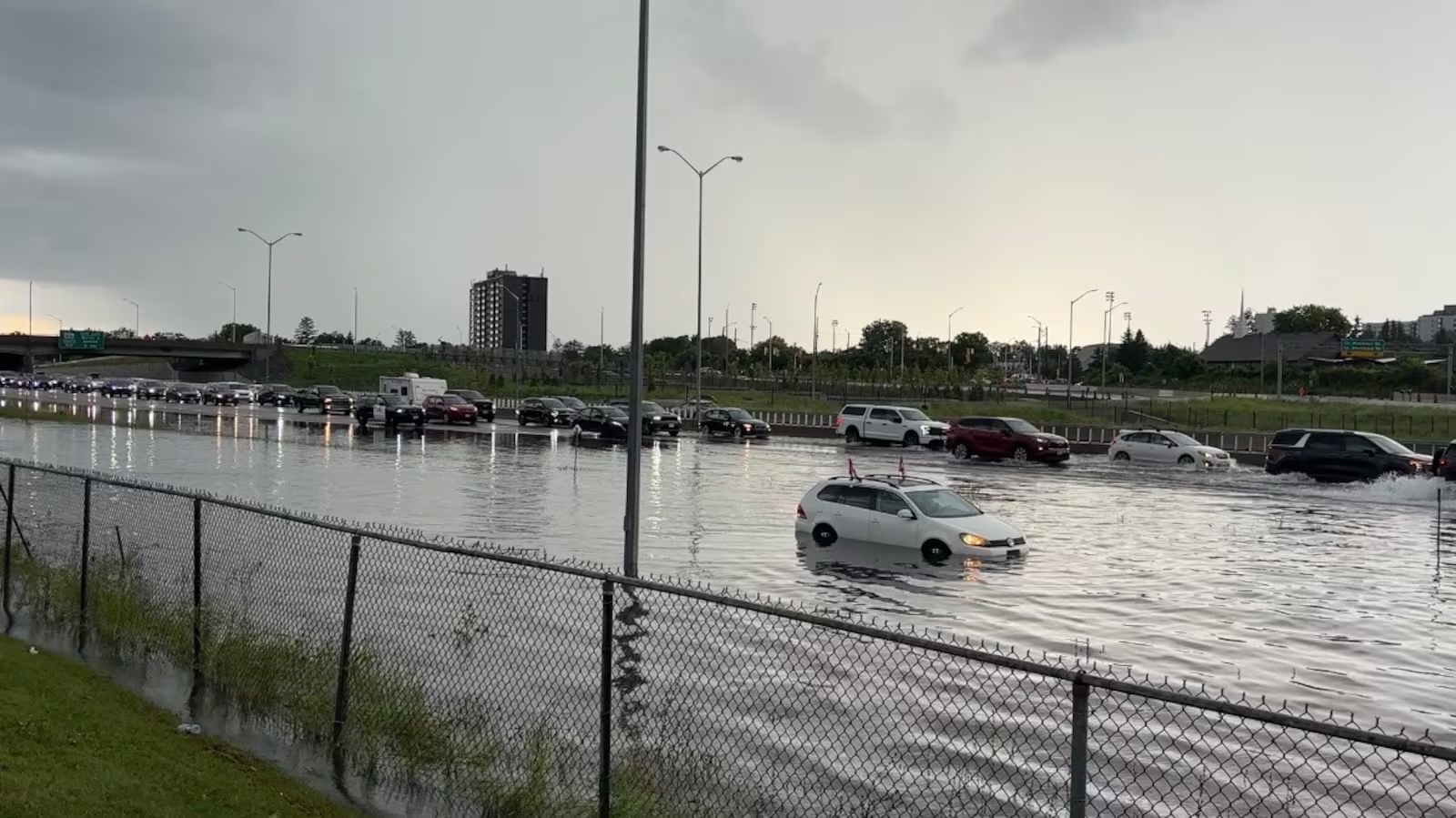
Residents across Ames, Iowa, and surrounding communities are being urged to exercise caution after the National Weather Service (NWS) issued a Flash Flood Warning for portions of central Iowa. The warning includes Ames, Nevada, and State Center, where heavy rainfall has created the potential for dangerous flash flooding, rapidly rising creeks, and water-covered roadways.
According to the National Weather Service, the Flash Flood Warning remains in effect until 6:30 a.m. CDT following intense thunderstorms that produced significant rainfall across Story and Marshall counties. Meteorologists warned that excessive rainfall could quickly overwhelm drainage systems, causing flooding in low-lying areas, urban streets, small streams, and underpasses.
Heavy rain moved through the region overnight, with thunderstorms delivering repeated downpours over already saturated ground. As runoff increased, water began accumulating on roads and in areas with poor drainage, creating hazardous travel conditions during the early morning hours. Emergency officials cautioned motorists against attempting to drive through flooded roadways, emphasizing the well-known safety message: “Turn Around, Don’t Drown.”
Communities throughout central Iowa have experienced periods of severe weather in recent days, including thunderstorms capable of producing heavy rain, strong winds, hail, and localized flooding. Weather experts noted that repeated rounds of rainfall significantly increase the flash flood threat because the ground becomes less capable of absorbing additional moisture.
Local emergency management agencies continue monitoring conditions while encouraging residents to remain alert for rapidly changing weather. Those living near creeks, rivers, or flood-prone locations are advised to closely watch water levels and be prepared to move to higher ground if flooding develops. Residents are also encouraged to avoid walking or driving through floodwaters, which may conceal damaged pavement, debris, or swift-moving currents.
The National Weather Service advises that flash flooding can occur with little warning, particularly during nighttime storms when visibility is limited. Drivers traveling through Ames, Nevada, State Center, and surrounding areas should expect possible road closures, standing water, and reduced visibility during periods of heavy rain.
Authorities are urging the public to monitor official weather updates through the National Weather Service, local emergency management offices, and trusted news outlets. Weather alerts may be updated if additional rainfall develops or if flooding conditions worsen.
Public works departments and emergency responders remain prepared to respond to reports of flooded roadways, blocked storm drains, and other storm-related hazards. While no widespread structural damage has been reported, officials continue evaluating conditions throughout the affected counties.
Forecasts indicate that additional showers and thunderstorms may remain possible across portions of Iowa, meaning localized flooding could continue where repeated rainfall occurs. Residents are encouraged to keep mobile devices charged, review emergency plans, and remain informed until the Flash Flood Warning expires and conditions improve.
As cleanup and monitoring efforts continue, officials remind everyone that even a few inches of moving water can sweep away vehicles or place lives at risk. Staying informed and following official guidance remain the best ways to stay safe during Iowa’s ongoing severe weather event.